
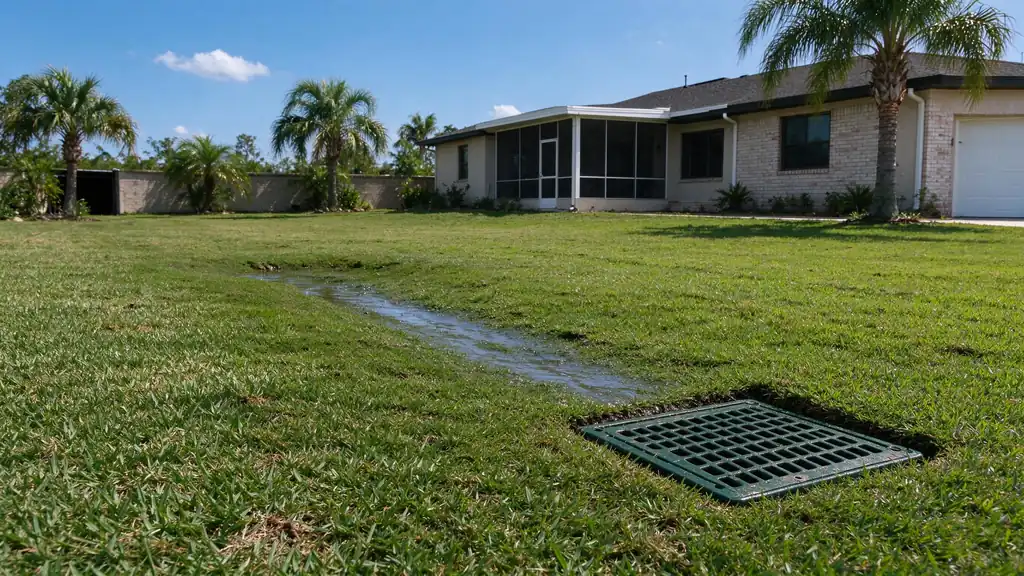
These planning tools help organize two limited decisions: supported length-based budgeting and the next useful question about a water problem. They do not diagnose concealed conditions, certify safety, select final pipe capacity or turn a national range into a Corpus Christi quote. Their basic results are available without contact details.
Use the cost estimator when you have an approximate length for one of its supported service types. Use the assessment when you need to organize observations before selecting work. Both explain their rules, keep uncertainty visible and link to the relevant guide or service for the next decision.
A budgeting illustration with limited inputs
The estimator uses documented national French-drain and channel-drain bands retained in the cost guide. It multiplies an approximate length by a published per-foot range and labels the result illustrative. It does not add an invented local multiplier, fixed mobilization charge or unsupported depth surcharge.
The bands disagree across sources, so the estimator preserves a broader and narrower reference rather than averaging them into false precision. Scope differs among published figures. The output cannot establish that excavation, support, outlet work or restoration on your property is included. It is a way to understand the scale of a stated reference, not a selling price.
Understand what the arithmetic leaves out
A length does not establish ground conditions, installation depth, vehicle loading, private utilities, public interfaces or the finished surface. Those factors can change the scope substantially. The estimate checklist helps compare them in actual proposals. A shorter route that stops before a viable receiver is not equivalent to a complete connection.
The estimator allows access and finish notes to prompt useful questions, but it does not convert those notes into invented dollar add-ons. No local rebate or financing benefit is subtracted. A labor wage input is not a contractor billing rate and is not used to localize the output. The methodology remains explicit so the result can be assessed honestly.
An assessment that routes observations
The assessment asks plain-language questions about timing, apparent source, existing collection, receiving conditions, property use and uncertainty. Its deterministic rules select a planning category and explain the answers that led there. It does not claim to know the condition of a buried pipe or certify the source of unknown water.
Read the inspection service for the distinction between an observation record and a site finding. If the situation involves suspected sanitary water, structural concerns or hazardous flooding, the assessment identifies the relevant scope boundary rather than trying to convert every answer into a private drainage sale.
Keep hazardous situations outside a questionnaire
Do not enter moving or contaminated water, open unknown structures or touch equipment to answer a tool question. Choose unknown where a condition cannot be observed safely. Official public safety guidance and the appropriate emergency service or authority take priority over a planning result.
The stormwater-versus-sewer guide explains source boundaries, and the coastal-limit guide separates private work from wider receiving water. No questionnaire can guarantee that a property is safe or that a private system will control every event.
Share an illustration without sharing contact details
Tool inputs can be represented in the page URL so a planning result can be reopened. Use approximate information only; do not put private contact details, access codes or sensitive property information in a share link. The result remains an illustration using the selected inputs, not a quotation accepted by a contractor.
For a more complete record, use the worksheet. It separates known facts, uncertain connections and questions for the proposal. The standing-water guide helps prepare safe observations that can make a later assessment more useful than a tool result alone.
Carry the result into the full route
A suggested surface-collection path can lead to yard drainage, while a soil-water question may lead to French drain installation. A receiving limitation belongs with the no-outlet guide. Those are explanatory next steps, not automatic prescriptions from the questionnaire.
If you request an estimate, describe the actual situation through the shared form. The tool result can supply context, but appointment, project scope and price still require separate agreement. Accepted submission confirms receipt only. Keeping that boundary clear makes the tools useful without presenting limited arithmetic or routing rules as more evidence than they contain.
An apparent result can change when a different controlling answer is selected. For example, a reported backed-up receiver can take priority over a surface-collection observation because the downstream route may limit every connected inlet. The assessment explains that reason instead of hiding it inside an unexplained score. Unknown answers remain valid planning information rather than being converted into a positive diagnosis.